|
Weather of United States Cities
Objectives: Students will be able to:
• use the Internet to find high and low temperatures for cities (http://weather.com)
• identify a state in which each city is located
• locate U.S. states and their neighboring states
• graph the high temperature for two cities for a week
Materials:
• Computer with Internet access
• Worksheets 3 and 4
• Chart of U.S. cities and states
Procedure:
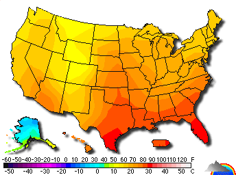
• Use the Internet (http://weather.com) to locate weather.
• Explain weather maps.
• Distribute handouts. Find chart of U.S. cities and map of U.S.
• Locate cities listed in handout.
• Write high and low temperatures for each city.
• Use the U.S. chart to identify the state in which each city is located.
• Use the map of the United States, locate the states and cities listed.
• Identify one neighboring state.
Evaluation:
Students complete handout. Which city has the warmest temperature today?
Which city has the coldest temperature today?
Additional Work:
Distribute Worksheet 4. Students use a crayon to record the low temperature of two cities. |